
Barnstable Neighbors: Block Record Coverage
There is no official Barnstable household-neighbor roster. The useful public sources describe different layers of an immediate block. The Town of Barnstable GIS viewer supplies parcel geometry and physical context. Assessing supplies parcel and ownership fields with an as-of date. The Registry of Deeds supplies title instruments and plans, while the Town Clerk is the route for a defined municipal voter-list request. Treat each source as evidence of what it was created to record, not as a statement about every person at an address.
| Block source | What it can show nearby | Access route |
|---|---|---|
| Town GIS Property Maps | Parcel shape, buildings, roads, water, zoning, and surrounding parcels | Public map viewer |
| Town Assessing Property Look-Up | Parcel, location, village, map link, ownership fields, values, and sales references | Public municipal search |
| Barnstable County Registry of Deeds | Plans, easements, restrictions, deeds, and title-document leads | Online index and image access, with counter access |
| Town Clerk election office | A defined municipal voter-list request under state access rules | Request by municipality, precinct, year, and format |
An assessed owner, current owner, co-owner, and mailing address are different assessor fields. The record may show an owner as of a particular January 1 and can change with the tax year. The Registry is better for title instruments, but title also does not establish who currently occupies a parcel. GIS adjacency likewise shows map context, not a social connection or household relationship.
Barnstable Neighbors Start With One Parcel
Use the Town assessor when an exact street address is known. Its three entry routes are Map/Block/Lot, owner last name, and separate street-number and street-name fields. Results show Parcel, Location, Owner, Details, and Map. A broad street search can be paginated in 40-result batches, so use the map/block/lot value once it is available instead of relying on a name match.
The property detail can include the property address, village, road type, zoning, sewer or CWMP status, assessed owner, current owner or co-owner, mailing address, assessment categories, tax material, sales history, and links to building or septic records. Those fields are parcel context. They should not be read as a statement about household membership, private contact information, personal behavior, or financial condition. Sales history can point to a book and page for a title search, not a current market conclusion.
- Parcel
- A mapped unit of land used by the assessor and GIS. It is not a list of people at the location.
- Map/Block/Lot
- A parcel key used to connect the assessor display and map. The captured example rendered 326/021 as 326021.
- Assessed owner
- An ownership field with an as-of date for assessment use. It is not a title opinion or occupancy finding.
Note: The assessor’s inspected Town Hall record is a civic parcel sample and should never be turned into a resident example.
Map Barnstable Neighbors Parcel by Parcel
The Town GIS Property Maps viewer is the bridge from an address to the immediate mapped setting. Find the property by address, street name and house number, or parcel number. Then use the map click and assessor link to distinguish the starting parcel from adjacent ones. The map’s layers include parcels, buildings, villages, zoning, historic areas, wetlands, flood zones, roads, town land, and other overlays. Water, a road right-of-way, town land, or a zoning feature can make map adjacency a poor proxy for real-world proximity.
- Normalize the address into street number, directional, street name, suffix, unit, village or community, postal city, ZIP, municipal town, and map/block/lot.
- Locate the address in the GIS viewer and record the starting parcel key.
- Click nearby parcel geometry and compare the parcel keys, physical features, and assessor links.
- Open a Registry name, plan, or instrument search only when a specific title, easement, restriction, or transfer question remains.
The public viewer can show adjacent parcels, but research did not capture a verified tool for neighbors within a stated distance or an automated abutter list. For a complete named-street record chain rather than the immediate block, use the Barnstable Street Directory.
MassGIS reports that its property-tax parcel information was updated July 22, 2026 as part of statewide parcel standardization work. That update improves data infrastructure, not a list of nearby people, and the Town assessor remains the source for its local display fields.
Barnstable Neighbors in Registry Plans
The Registry of Deeds is useful once a parcel raises a specific land-record question. Its material includes deeds, mortgages, discharges, assignments, liens, easements, restrictions, plans, conservation restrictions, and related instruments. Search by name, book and page, entry date, year and instrument, Land Court, or plans as the record type requires. The Registry address index begins in August 1993 and is an unofficial, incomplete aid supplied by recording parties. Earlier work should follow a name, book/page, instrument, or plan route.
Its time depth is a Barnstable records feature: property records begin in 1742 and Land Court records in 1898. Those dates explain why a modern address search cannot settle an older plan or title question. The Registry’s free images carry a “not an official copy” overlay, while clean prints use the print cart and stated fees. Preserve the recording date, book/page, instrument, plan number, and town with any title note.
The Registry hours page confirms the public-counter route for plan and title research.
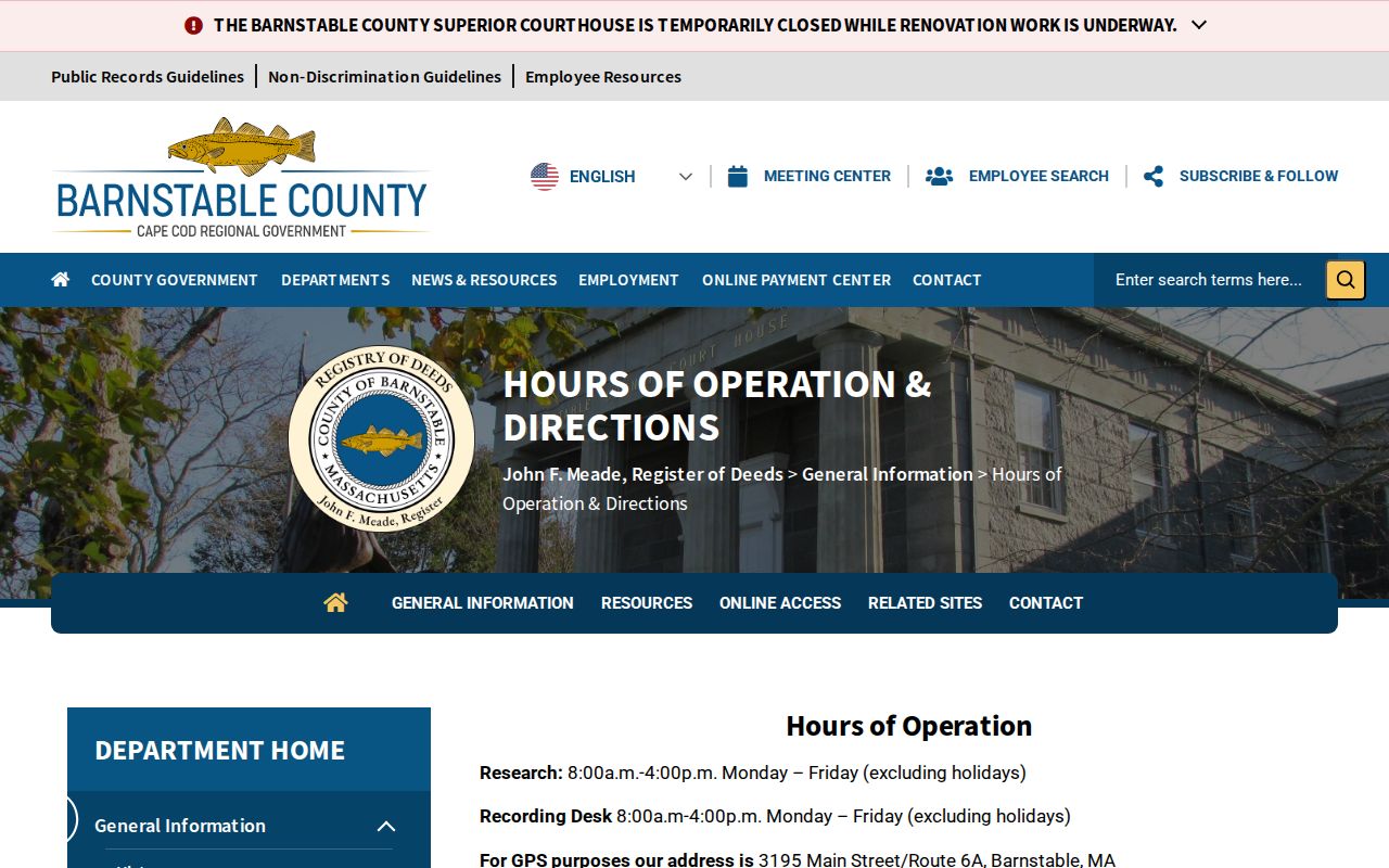
The Registry lists public access from 8:00 a.m. to 4:00 p.m. Monday through Friday, a useful alternative when an online image or plan is incomplete.
The Registry recording-statistics category is a separate current-records source, not a measure of a block or its people.
Research confirmed a July 2026 report posted August 6, 2026, but did not capture the report’s figures, so no statistics are inferred here.
Note: Registry plans and title records need the town, instrument, and date to avoid misreading a countywide search result.
Barnstable Neighbors Need Address Normalization
A shared ZIP or village label can create a false block grouping. Barnstable includes village and delivery-community names that are not separate municipalities. Cotuit and Santuit share ZIP 02635, and Craigville’s 02636 is a delivery-area clue rather than a town boundary. The county’s official village list and the Town’s parcel records should be read alongside the municipal town and postal city, not substituted for each other.
MassGIS address standards keep municipal town, USPS postal city, and community or MSAG name separate. The official Captain Jacs Road example shows why: West Barnstable and Centerville community labels can overlap in address-standard material. Normalize directionals, suffixes, unit numbers, village names, postal city, ZIP, and parcel key before deciding that two entries concern the same location. USPS address results also do not confirm that a person or company is at an address.
Note: A postal label can aid delivery but must remain separate from the municipal town and parcel key.
Barnstable Neighbors: Official and Commercial Tools
Official sources and commercial neighbor-lookup categories serve different purposes. The official record lets a reader see the custodian, field limits, as-of date, and document type. A commercial category can blend data from varied sources, but it may not show how a claim was formed or when it changed. No commercial category should replace the assessor, GIS, Registry, voter custodian, or court clerk for a specific question.
| Official record path | Commercial neighbor-lookup category |
|---|---|
| Tied to a named custodian and defined record purpose | May combine sources with different dates and rules |
| Can show parcel, title, map, or election-administration context | Cannot establish current occupancy, relationships, or contact permission |
| Supports a correction request to the office that maintains the record | Should be checked against the original official source before relying on a claim |
Use only what is needed for a property, civic, or family-history question. A nearby parcel is not a reason to assemble contact details, monitor a person, or infer a household composition.
Barnstable Neighbors by Record Custodian
Records around an address remain most useful when their custodian is clear. The research did not identify a verified public neighborhood-association roster or integrated abutter service, so no association directory is presented as an official source. The offices below are the documented channels for the record types used in immediate-block research.
Town Assessing
Use the property look-up for map/block/lot, owner last name, or street fields, then date any ownership or assessment field shown.
Town GIS Property Maps
Use the public viewer for parcel geometry and layers such as roads, water, buildings, zoning, and nearby mapped parcels.
Registry of Deeds
Use plans and title instruments for a defined property question. The Registry covers county records, so label a town-filtered search carefully.
Town Clerk Election Office
Request a defined municipal voter list with municipality, ward or precinct, year, and format. Protected fields remain protected.
Historical community context belongs in a separate category. Sturgis Library collections include cemetery records, family Bibles, churches, and organization material, but an old membership or burial record does not establish a current affiliation or nearby residence. Use a collection name, repository, and date range when historical context is needed.
Barnstable Neighbor Lookup Privacy Limits
Massachusetts access rules do not authorize collecting every detail attached to nearby addresses. MGL c.66 §10 works with exemptions in MGL c.4 §7, voter confidentiality, vital-record eligibility, court impoundment, and agency-specific limits. Telephone, email, confidential-voter information, veteran status, permanent absentee information, and certain minor or pre-registration data are not ordinary public voter-list fields.
The Massachusetts Address Confidentiality Program provides a substitute address and mail forwarding for eligible people facing address-disclosure danger. Court Rule 1:20 also supports substitute-address and impoundment procedures for protected court participants. A protected address must not be reconstructed from parcel, title, voter, or earlier records. An address and a parcel can explain land-record context without revealing who lives there.
Lawful use. Use Barnstable neighbor records for lawful, limited property or civic research. Do not use nearby-record details to stalk, harass, intimidate, or harm anyone.