
Barnstable ZIP Code Areas
The official county village list associates thirteen community labels with ZIP codes under the Town of Barnstable. The list is useful for normalizing a place reference, especially when a record says Hyannis, West Barnstable, Cotuit, or another village name. It is not a municipal-boundary table. Each ZIP code below is presented as the county's village or delivery association, with exact delivery confirmation left to the current USPS address result.
Barnstable County's villages and ZIPs resource is the source for these postal associations.
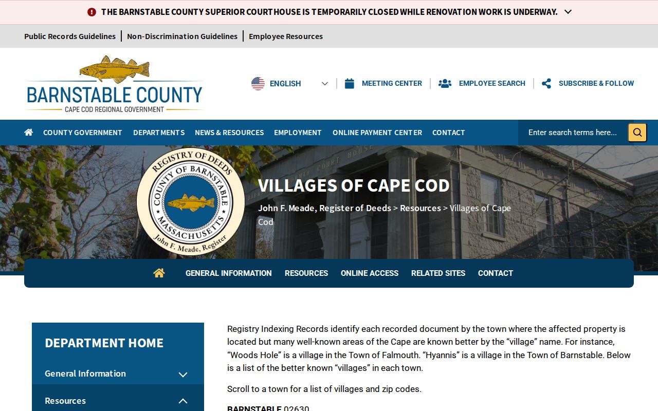
The county list gives an area label, not a person or property result. Use the full address before attaching a postal city or ZIP code to a specific record.
| ZIP code | County-listed area | USPS confirmation | Record note |
|---|---|---|---|
| 02630 | Barnstable | Check the exact street address | Village and postal fields remain separate from the municipal town. |
| 02632 | Centerville | Check the exact street address | Community label inside the Town of Barnstable. |
| 02635 | Cotuit and Santuit | Check the exact street address | Shared ZIP in the county list. |
| 02636 | Craigville | Check the exact street address | Delivery-area clue, not an incorporated-place or town boundary. |
| 02637 | Cummaquid | Check the exact street address | Retain the community label where the source provides it. |
| 02601 | Hyannis | Check the exact street address | Postal city and municipal town can differ. |
| 02647 | Hyannis Port | Check the exact street address | Delivery community, not a separate municipality. |
| 02648 | Marstons Mills | Check the exact street address | Core Barnstable village label. |
| 02655 | Osterville | Check the exact street address | Core Barnstable village label. |
| 02668 | West Barnstable | Check the exact street address | Community label needs its own field. |
| 02672 | West Hyannis Port | Check the exact street address | Delivery community, not a separate municipality. |
| 02674 | Wianno | Check the exact street address | Retain the listed community label with the address source. |
Santuit shares 02635 with Cotuit, while the county list also places Craigville under 02636. Those examples show why a Barnstable ZIP code directory should never turn a ZIP label into a town boundary.
Barnstable ZIP Code Meaning
ZIP codes are USPS delivery geography. USPS assigns them to delivery points and does not maintain official ZIP boundary maps. MassGIS represents five-digit areas as approximate polygons, with delivery-point and street-centerline caveats. A polygon can help visualize a postal pattern, but it is not legal geography and cannot establish a municipal limit, village edge, parcel line, or a person's presence at an address.
This distinction matters in Barnstable because the municipality, postal city, village or community, and parcel map-block-lot are separate identifiers. A good record note preserves all of the fields that the source actually gives. It does not flatten Hyannis, Hyannis Port, West Hyannis Port, or West Barnstable into one unnamed place.
- ZIP code
- A five-digit USPS delivery designation for an address or delivery point, not a municipal boundary.
- ZIP+4
- An added four-digit delivery detail used with the five-digit ZIP code. It does not replace the postal city or municipal town field.
- PO box ZIP
- A ZIP associated with post-office-box delivery. Do not assume it identifies a street location.
- Unique ZIP
- A ZIP assigned to a particular delivery arrangement or institution; confirm the current USPS result before describing one.
- Carrier route
- A postal delivery sequence used for mail operations, not evidence of a neighborhood boundary or a household list.
Check a Barnstable ZIP Code
Use USPS By Address before looking at a map or a local record. The official tool requires street, city, and state. Company, apartment or suite, and ZIP fields are optional. The research did not submit a live address, so this field guide describes the inspected form rather than a sample result. USPS expressly warns that its result does not establish that a person or company occupies the address, or that the address is an actual business.
| Company | Optional. It is not a person-confirmation field. |
|---|---|
| Street | Required. Use the complete street address supplied by the record being checked. |
| Apartment or suite | Optional. Preserve it only where a lawful source provides it. |
| City | Required. Enter the postal city supplied with the address. |
| State | Required. Use Massachusetts for a Barnstable address. |
| ZIP code | Optional. Use it to confirm or compare a known delivery label. |
- Normalize the street number, directional, street name, suffix, and unit from the source record.
- Run the complete address through the current USPS By Address tool and save the returned postal city and ZIP exactly as displayed.
- Store Town of Barnstable and the village or community in separate fields rather than overwriting the postal result.
- When a parcel or property connection matters, compare the address with the Town assessor and GIS records, then preserve the source date.
Once a ZIP has narrowed the place, the Barnstable street directory has the fuller address, parcel, and title workflow. A ZIP result alone does not identify an occupant.
Barnstable ZIP Code Village Overlap
The shared 02635 association for Cotuit and Santuit is the clearest county-list example of postal overlap. A second local quirk appears in the official address-standard material, which uses Captain Jacs Road to show community labels repeating in West Barnstable and Centerville. The lesson is practical: use the exact delivery result, retain the town and community fields, and then check the parcel map when the place relationship matters.
Neither a village label nor a shared ZIP code tells who occupies a property. It is context for searching records, not proof of a current household or a way to group unrelated addresses.
Note: A shared ZIP such as 02635 narrows postal delivery geography, but it cannot resolve the municipal, village, parcel, or occupancy question by itself.
Barnstable ZIP Code Map Context
MassGIS parcel and ZIP material is best used after the postal normalization step. Its approximate ZIP geography gives context, while the Town of Barnstable GIS viewer can show parcels, buildings, roads, water, zoning, flood layers, and village context. Parcel geometry does not prove ownership or residence. It helps keep a street address, map-block-lot identifier, postal city, and village from being confused with one another.
MassGIS property-tax parcels describes the statewide standardized parcel program and was updated July 22, 2026.
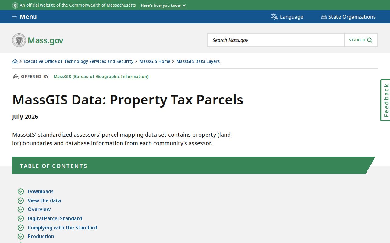
The July 2026 update is a data-infrastructure note, not a resident list. Use the current Town assessor and GIS pages to check an individual parcel or address.
Barnstable ZIP Code Record Fields
Some state record tools expose location fields that can narrow a query, but their records answer their own limited question. Massachusetts Division of Occupational Licensure guidance shows individual and business search paths with first, middle, and last name; city, state, and ZIP; board; license type; and license number. OPSI permits individual or facility searches with profession, license type or number, status, name, city, state, ZIP, and county. Neither result establishes that a person currently lives at the location.
Massachusetts Division of Occupational Licensure guidance shows the available location fields.
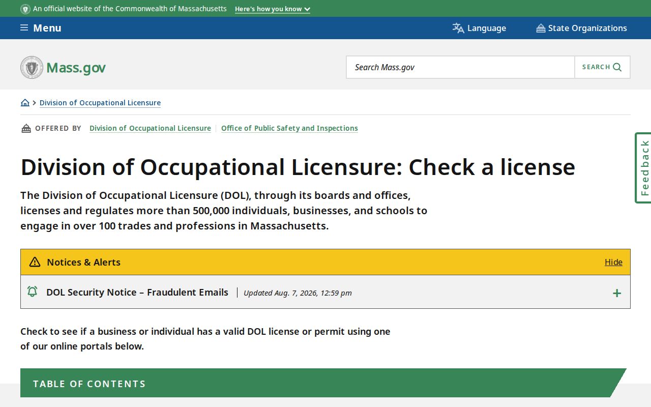
Keep board, license type, status, and any displayed date separate from the ZIP field. A location filter makes a search smaller; it does not turn a license result into a household record.
OPSI license lookup guidance documents its individual and facility search choices.
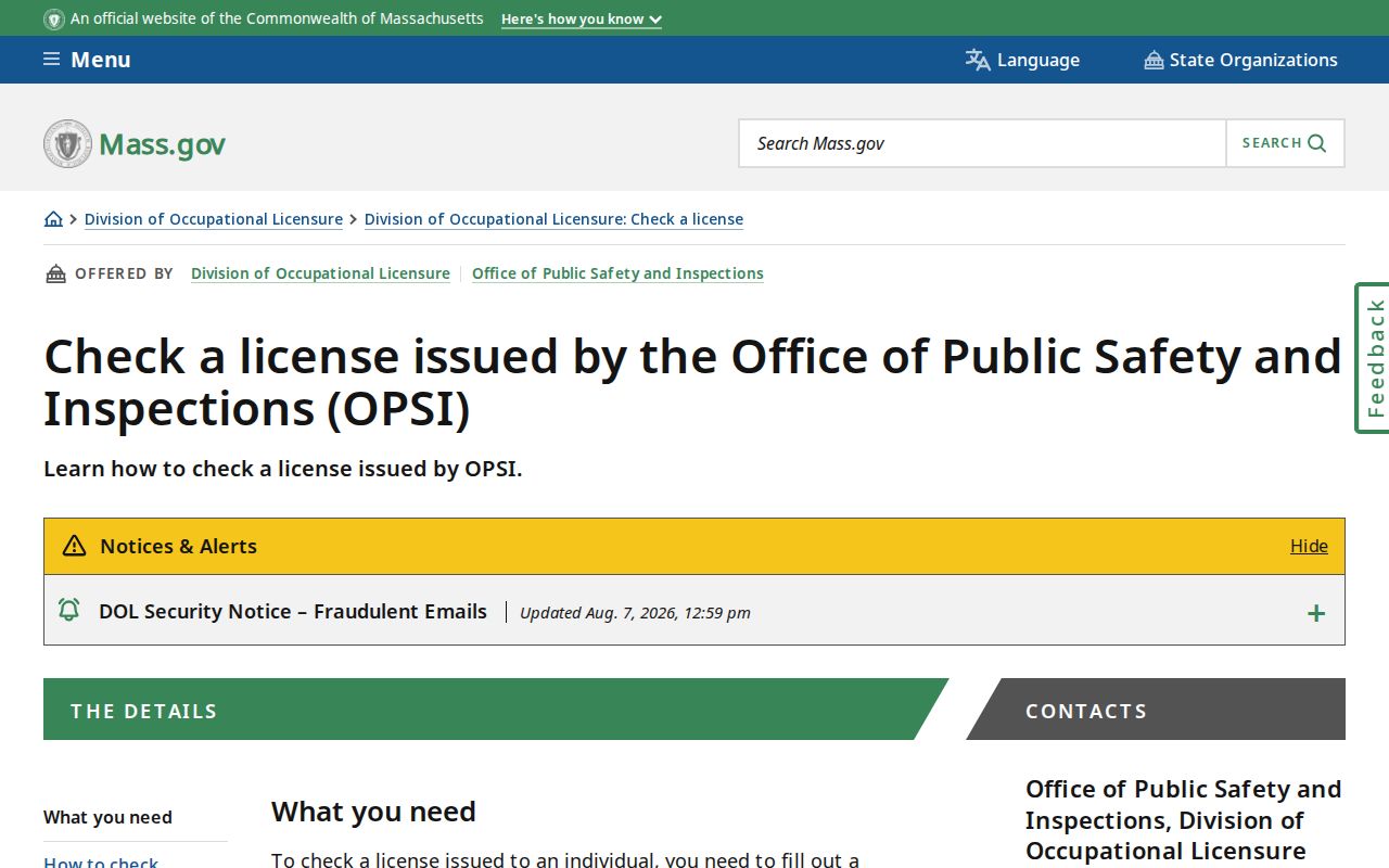
OPSI states that its information is available from 2001 to the present. Use the current status display and do not infer a person's address or ongoing connection from a ZIP-filtered result.
The health-profession license lookup provides a different search route, by license number or last name.
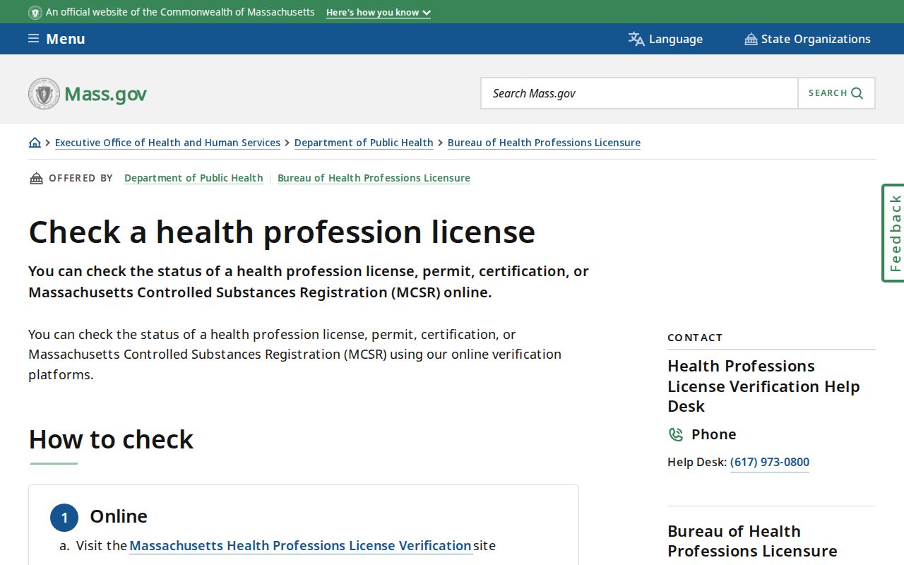
Because the inspected health lookup fields do not show a ZIP search, do not promise a ZIP filter where the official tool did not capture one.
Barnstable ZIP Code Entity Limits
The Massachusetts Secretary of the Commonwealth Corporate Database is a separate public-record source. Its overview points to corporate records, UCC filings, liens, name reservations, trademarks, and the corporate card file. A registered office or agent field can be useful for identifying an entity record, filing date, status, or a public filing contact. It is not evidence that a named individual resides at that address, and the research did not inspect a live entity result screen.
The Corporations overview explains the state record categories before an entity search begins.
Use city or ZIP as a record filter only where a form provides it. Preserve the record type and source date, and never convert a business address into a resident listing.
Barnstable ZIP Code Boundaries
The Town of Barnstable is one municipality with seven core villages, while county sources also identify delivery communities. ZIP polygons, postal cities, village labels, and town limits do not perform the same job. A map can be helpful for context, but the official research warns that USPS delivery geography is not a legal boundary and MassGIS polygons are approximate. This is why an address should retain both the municipal town and the postal city or ZIP rather than choosing one as the only location label.
For a public-record question, ask the custodian for the precise record type, address, date range, and requested format. Massachusetts Public Records Law, MGL c.66 §10 together with MGL c.4 §7 exemptions, does not make every field or protected address broadly available. The Town Clerk and other custodians can clarify the proper route for a municipal record. Protected addresses, confidential voter fields, and other restricted material should not be republished or used to target anyone.